Yorkshire

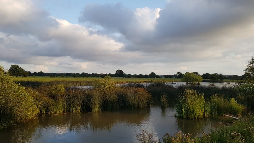
The Yorkshire Point of Inaccessibility can be found in a grass field near an old fishing pond west of the village of Hessay, close to York.
The exact location of the Yorkshire PIA is determined to be at:
- Latitude: 53° 58.220’ N
- Longitude: 1° 13.588’ W
- Distance from county borders: 34.5 miles
These coordinates were calculated by Miso for Chris Brown in July 2019.
Location of the Yorkshire Point of Inaccessibility
The Point is in a private field behind Holly House Farm. You can drive to the farm on good roads using the postcode YO26 8JW in your Sat-Nav. Of course, you’ll need permission to gain access to the land.
Getting to the Yorkshire Pole

Date Visited: 1st August, 2019
Visited by: Chris Brown
Weather: 20 Celsius/68 Fahrenheit. Pleasant day with a few clouds.
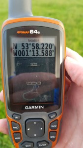
Coordinates Achieved: 53° 58.220’ N, 1° 13.588’ W
Distance from Pole: Zero metres. Exact Pole Achieved
I thought the 1st August would be an apt day to visit this PIA, being designated Yorkshire Day since local government reorganisation in 1974. It’s a local visit for me and the entire round-trip took less than 90 minutes using the A59 road from Harrogate towards York and turning off onto Marston Lane and then Atterwith Lane.
The PIA lies on the opposite side of two small ponds from the road. The larger pond appears to have been forsaken by fishermen and an abandoned, wooden rowing boat lies in the mud at the side. With Geese and Ducks attracted to the water, it has the feel of a picturesque nature reserve.

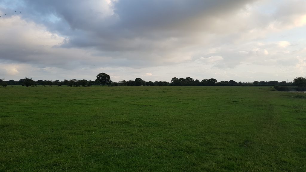
The precise location is a fairly nondescript piece of grass in a reasonably large field, as you can see in the image above. This being the Vale of York, there isn’t much by way of views in any direction, other than more flat, grass fields.

An interesting side note for the Yorkshire Pole is it’s proximity to the Centre of Gravity of Yorkshire. The Ordnance Survey calculated the CoG to be at 53° 58.891’ N, 1° 14.481’ W, which is less than one mile, in a straight line from the POI.