Easter Island (Rapa Nui)
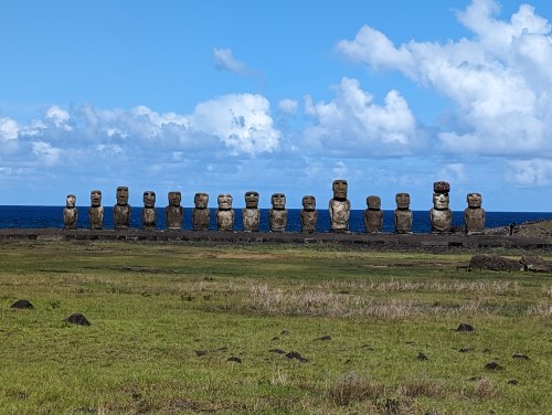
Easter Island lies about 3,500km from Chile, who annexed the Island in 1888. It is one of the World’s remotest islands, being more than 2,000km from the nearest island of Pitcairn. The indigenous name for Easter Island is Rapa Nui
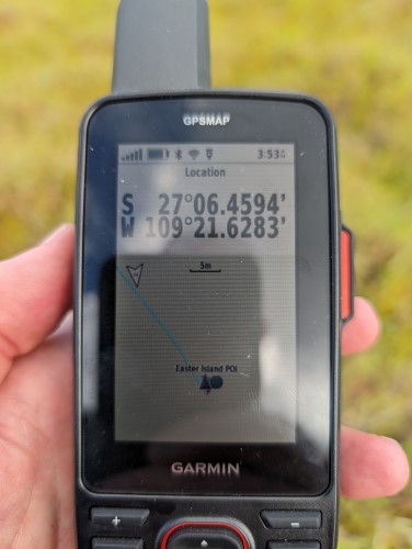
The Point of Inaccessibility, or centre of Easter Island, lies at:
- Latitude: 27°06.4583 S
- Longitude: 109°21.6283′ W
- Distance from sea: 5.1km
These coordinates were calculated by Chris Brown in February 2024.
Map of Easter Island’s Point of Inaccessibility
Easter Island is known for its giant monolithic head carvings, which are called Moai.
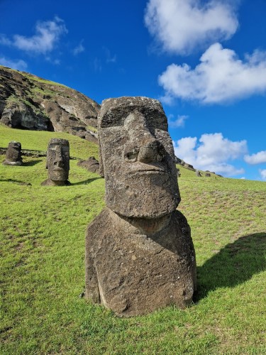
Perhaps the first thing to note is that they aren’t actually heads, but whole bodies just with an exaggerated head. Helping with this common misconception is the fact that many are partially buried, thus covering some or all the lower body section.
The carvings represent village elders from the clans who originally inhabited these islands. They are placed on the coast looking inwards, to protect the clans’ lands and bring good crops
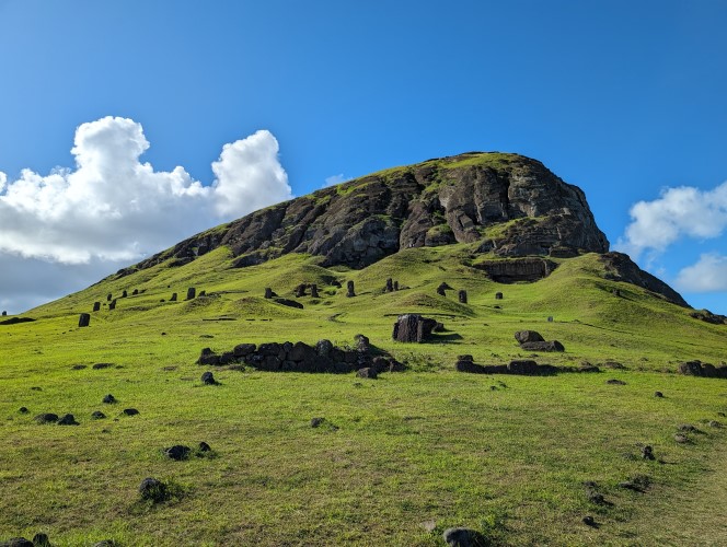
More than half of the island’s statues remain in the vicinity.
Getting to the Easter Island Point of Inaccessibility
It isn’t difficult to get to Easter Island’s Point of Inaccessibility. We managed to grab a lift in a 4×4 from the main town, Hanga Roa, along the Cam. Vaitea Anakena. Just before the Mount of Nayan, we jumped out of the vehicle and set off cross-country, with a slight climb up towards the POI.
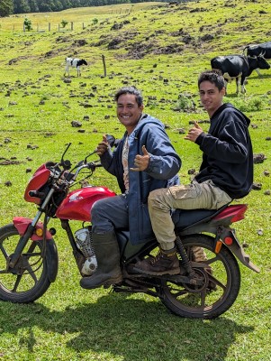
The Point of Inaccessibility lies on private land, but we managed to get permission to enter from Kimi who had been out herding their cows on a trail bike.
The climb isn’t particularly arduous, but it is difficult underfoot. Large volcanic rocks and boulders lie everywhere, ready to turn your ankle when hidden under the 10cm long grass.
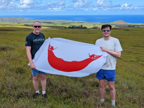
Visited by: Chris & Mika Brown
Weather: 22 Celsius. Occasional Cloud.
Coordinates Achieved: 27° 06.4594’S 109° 21.6283’W
Distance from Pole: Zero metres. Exact Pole achieved
The view from the Point is quite beautiful; you can see plenty of Moai and out to sea on the eastern side of the island.
