Tahiti Nui
Tahiti consists of two parts, both very-roughly circular, connected by an isthmus. The larger section is called Tahiti Nui (“nui” meaning “great”) and the other section is called Tahiti Iti (with “iti meaning “small”). Of course, the Point of Inaccessibility can be found on the larger section.
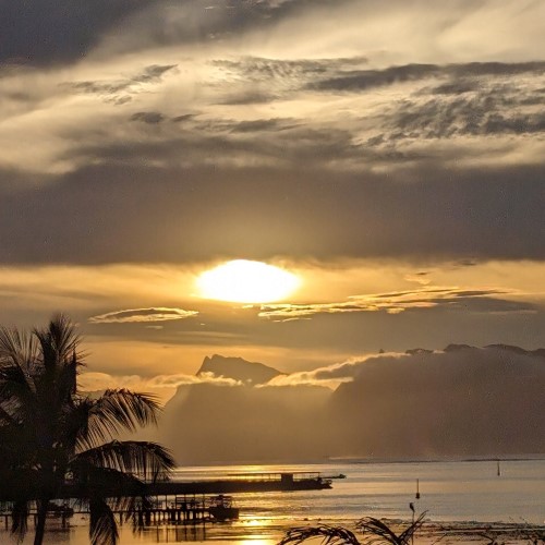
Tahiti is in the northern part of the South Pacific and we arrived there at the end of our Point Nemo expedition. It is the largest of French Polynesia’s 118 islands. What a pleasure it was to finally stand on terra firma after three weeks at sea in often-rough conditions.
The Point of Inaccessibility, or centre of Tahiti Nui Island, lies at:
- Latitude: 17° 38.4463′ S
- Longitude: 149° 27.5059′ W
- Distance from sea: 14.3km
These coordinates were calculated by Chris Brown in February 2024.
Map of Tahiti’s Point of Inaccessibility
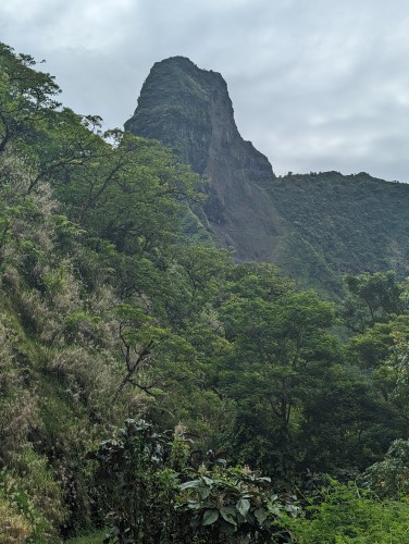
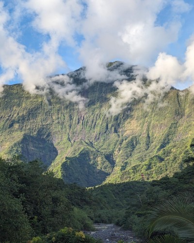
Tahiti Nui is mostly mountainous and steep, the product of being formed by ancient volcanoes. The population live predominantly around the coast around which the only metalled road runs. Out of an area of over 1,000 square kilometres, only 150 km2 are inhabited.
Inland, you could imagine Tahiti being the setting for Jurassic Park (actually filmed on very similar Hawaiian Islands Kauai, Maui, and Oahu) or King Kong emerging from the forest.
For an island that is only circa 32km in diameter, the highest peak, Mount Orohena) has an altitude of 2,241 metres, which gives you an indication of the slopes involved.
Getting to the Tahitian Point of Inaccessibility
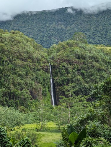
Although the only ‘proper’ road runs around the island there are several rough tracks leading to very small villages on the insides of Tahiti. Only one crosses the entire island and, lucky for us, this passes not too far from the Point of Inaccessibility. The majority of these dirt tracks have been created by the exploitation of hydro electric power and there’s a surprising amount of infrastructure associated with it, dotted around the jungle.
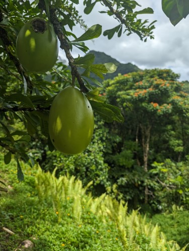
Rather than hire a 4×4 and get hopelessly lost and perhaps stranded, we decided to enlist the help of a local guide called Teremoana. What a good move! Not only did he know of tracks we couldn’t possibly have known about and which don’t appear on maps, but he brought much of the flora and fauna to life for us with detailed explanations and some ‘ancient’ local knowledge and fables.
From Papeete, you take the Ring Road north to Papano’o where you start the track leading almost directly south. After about two hours, you approach Marae Fare Hape where you can take an even smaller, almost hidden track due West.
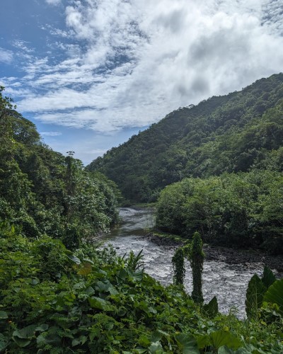
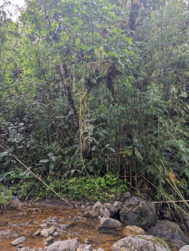
The last 3km is by foot along the banks of a small river and in the shadow of Uhuhe, the fire guardian mountain (also the caterpillar mountain).
The POI is on a very steep bank (estimated 50 degrees) on the other side of the river, up said mountain.
Given that none of the party had jungle trekking gear or machetes we decided that just 203 metres from the POI was good enough. At the start of the journey, I’d have been happy to get within 1km, so we can call that a “Win”.
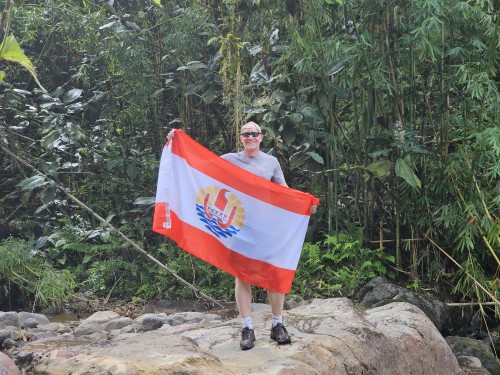
Visited by: Chris Brown, Simika Best, Teremoana
Weather: 28o Celsius. Occasional Cloud.
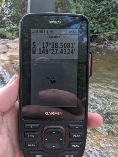
Coordinates Achieved: 17° 38.5081’S 149° 27.4124’W
Distance from Pole: 203 metres