South American Pole of Inaccessibility
The Pole of Inaccessibility for South America is in the Arenápolis municipality of Matto Grosso state in the western part of Brazil. The nearest large town is Diamantino, named after some early diamond deposits found in the vicinity. These days the area is better known for its production of grains and cotton.
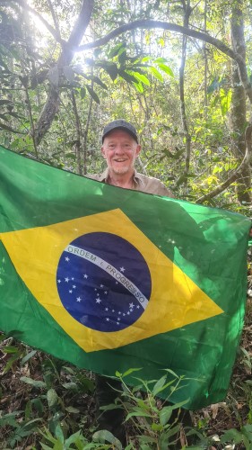
The exact location of the South American PIA is determined to be at:
- Latitude: 14°3’S
- Longitude: 56°51’W
- Distance from sea: 940 miles
The coordinates were calculated by Garcia-Castellanos & Lombardo in 2007 and published in the Scottish Geographical Journal.
The Pole lies on private farming land and is accessible by car and then on foot. Expect to find the last kilometre or so to be ‘hard going’ in some very dense bush. You will definitely need machetes, sturdy boots and bug spray.
Map of South American Pole of Inaccessibility
The first recorded visit belongs to the Turner Twins, from Devon in the United Kingdom, who reached the South American PIA by bicycle after setting off from the Chilean town of Arica in 2017. They marked the pole with a recycled piece of wood.
Getting to the South American Pole of Inaccessibility
Date Visited: 29th May, 2023
Visited by: Chris Brown, Larry Reeves and Adam Barwell
Weather: 38 Celsius/100 Fahrenheit. Clear skies with a few light clouds. Humid.
Coordinates Achieved: 14°3.000’ N, 56°51.000’ W
Distance from Pole: Zero metres. Exact Pole achieved
Departing from Rio, we flew via Sao Paulo to Cuiabá where we were met by our drivers Manoel and Wolney along with translator Willan Correia. Travelling in two vehicles, as back-up in case of breakdown or other difficulties, we drove northwards on the MT-010 and joined the 364 at Rosário Oeste. We had a brief stop at Nobres for food then continued on past Diamantino, still on the 364.
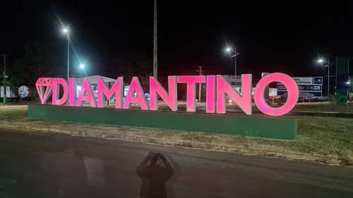
Our plan was to hit the pole straight away. Then, if we encountered problems, we had time to make a second attempt the next morning, on the 30th, before catching the evening plane back to Rio.
The drive was largely uneventful and we left tarmacked road around Parecis.
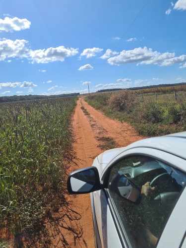
Red dirt tracks took us through fields of maize (where we saw several Rhea, or ñandus loitering around) before coming to a halt in front of some dense jungle; leaving us a 1.3km point-to-point walk to the pole.
Having viewed the Turner Twin’s videos of the Pole we expected a reasonable walk with some pushing through waist-high bush. But the jungle had taken over in the intervening six years and we were faced with pretty dense South American forest.
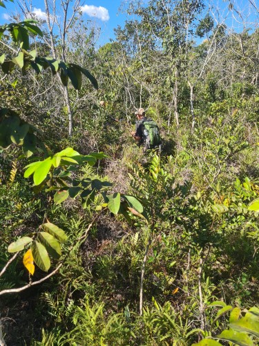
After 30 minutes of hacking, three of us working with machetes, we had travelled just 300m. We knew then, it was going to be a long final stretch!
Hazards we encountered included a few massive bees nests, anthills, collapsed trees making some foot placements precarious and, at one point, we came across Jaguar tracks – about fist sized with four prominent knuckle indentations.
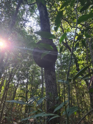
The pole itself, which we arrived at after around 75 minutes and a total moving distance closer to 1.6km than 1.3km, was no different. Light was only just breaking through the canopy and definitely not direct sunlight. Were we in a different place from the Turner Twins?
Confirmation that we’d reached the same exact point as at least one other South American Pole of Inaccessibility explorer came with the discovery of an old machete stuck in the ground. However, we could not find a blue piece of wood.
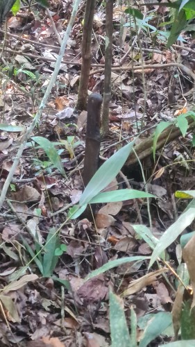
We had successfully arrived
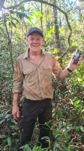
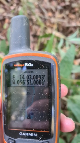
The return journey was equally as arduous since it is virtually impossible to follow your own exact tracks back through the rainforest.
Total distance travelled on the Garmin was 3.77km in a time of 2hr 54 minutes.
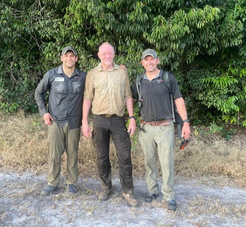
Tired and dirty after three hours of hacking through the jungle