Hungary

The Hungarian Point of Inaccessibility can be found at the following coordinates
- Latitude: 47° 09.9135’N
- Longitude: 20° 07.1406‘E
These coordinates were calculated by Miso for Chris Brown in August 2022.
Mapped Location of Hungarian Point of Inaccessibility
The POI for Hungary, which makes it the most-Hungarian point in Magyarország, is in a farmer’s field just 12km west of Szolnok.
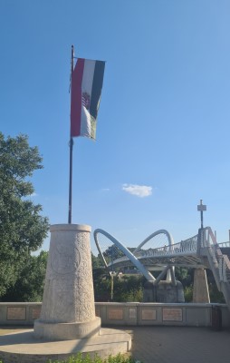
Szolnok is situated on the banks of the Tisza river and is the county seat of Jász-Nagykun-Szolnok county in central Hungary – the heart of the Great Hungarian Plain.

Central Europe’s longest footbridge at 444m
Journey to the Hungarian Point of Inaccessibility
If you are coming from Budapest, it will take about 1 hour and 45 minutes to drive the approximate 105km to the point of inaccessibility. It’s a pretty simple drive along the well-maintained E60, followed by Route 406 from Abony.
The roads near to the Pole get a bit ‘rustic’, coming down to single lane off-road tracks. More than once we had to pull over to allow farm vehicles to squeeze past. Even though we were very out-of-place in our hire car, the farmers didn’t seem bothered by our presence.

at the centre of Hungary
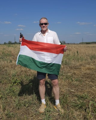
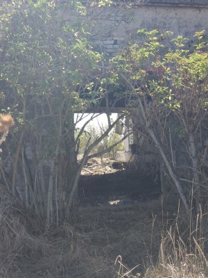
Thus, we were able to get to within 400m of the Hungarian point of inaccessibility before having to leave the comfort of the vehicle’s air-conditioning. Taking care not to tread on any crops, we followed the overgrown route of an old road to an abandoned building just yards from the pole. Maybe it wouldn’t have been abandoned if they realised this was the building furthest from the Hungarian borders in ANY direction.
A little further on, by a mound of earth, we located the exact Magyarország point of inaccessibility.


Visited by: Chris Brown and Simika Best
Date of Visit: 8th September, 2023
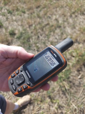
Coordinates Achieved: 47° 09.9136’N, 20° 07.1407’E
Distance from Pole: 0 metres, exact pole achieved
Weather: 34 Celsius/93 Fahrenheit. Sunny and humid.